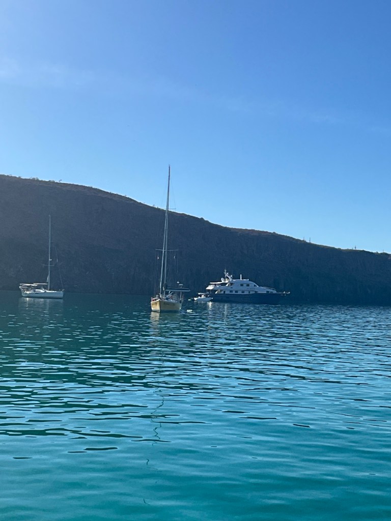
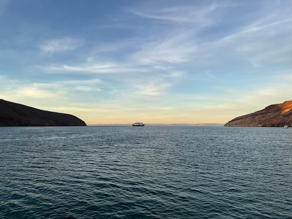
Waking up this morning to a large vessel lowering their anchor and zodiacs. Google tells me “this vessel belongs to the National Geographic-Lindblad fleet. And “this fully stabilized, nimble vessel was designed to meet the precise needs of our expeditions and features the latest satellite and navigation technology, reinforced Zodiacs, a mudroom, and a superior viewing experience on decks and in common areas. The ship comfortably accommodates 100 guests in 50 spacious outside cabins.”
Further, “National Geographic Venture traces the coast of North America, bringing Guests to Alaska and British Columbia in the summer, before heading south in the winter to navigate Baja California and the Gulf of California, as well as Costa Rica and Panama. The ship is designed to navigate narrow inlets and wildlife-rich passageways inaccessible to larger ships.”

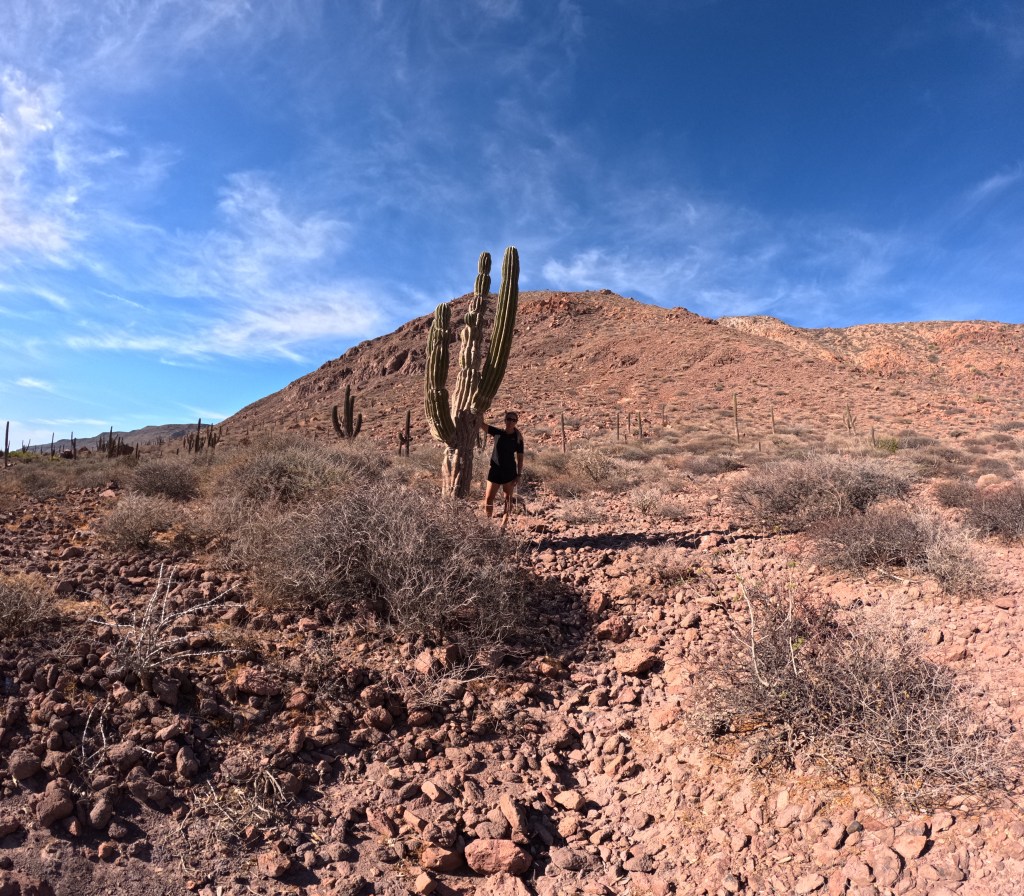
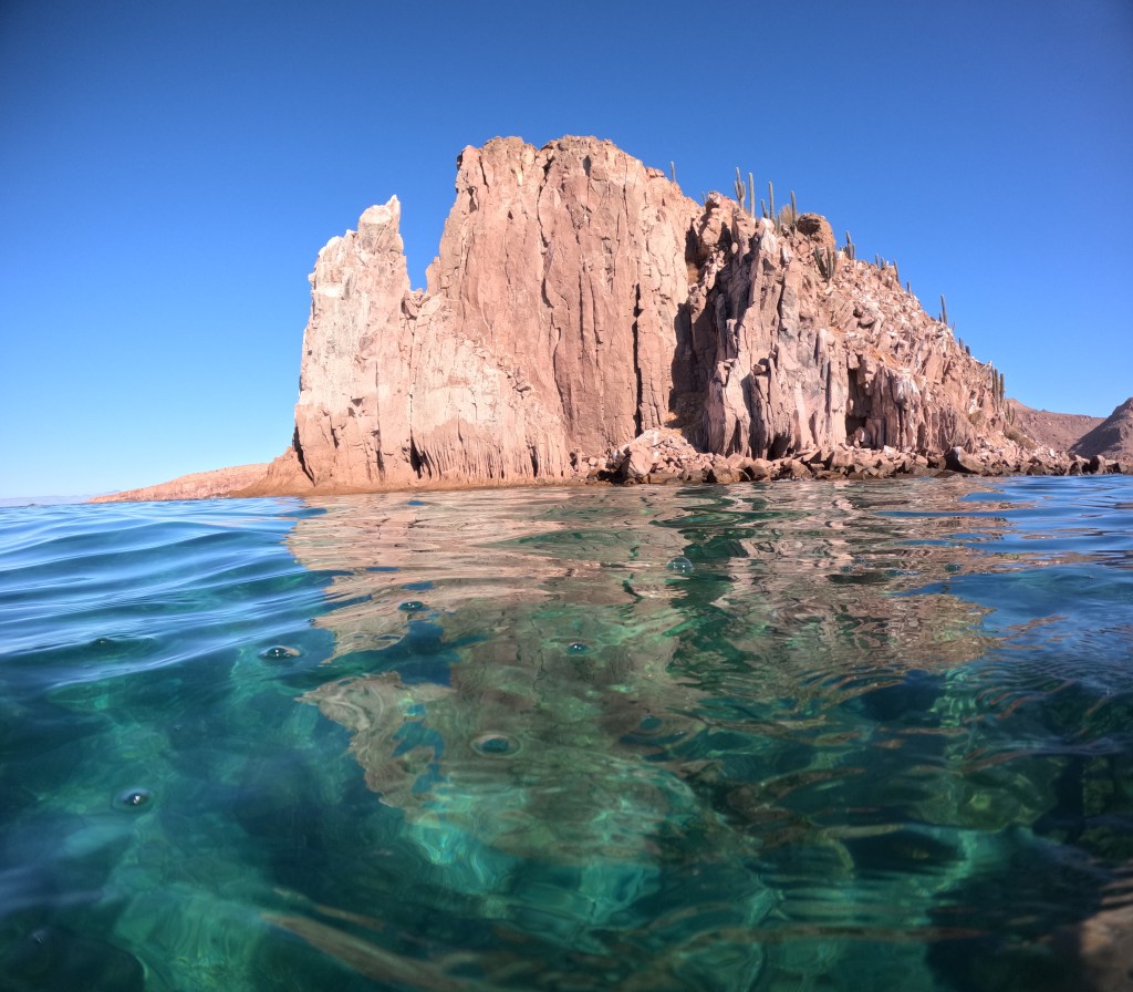
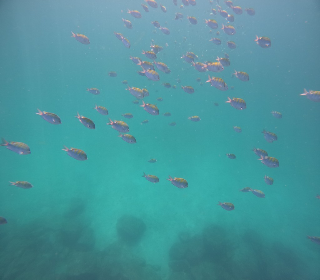
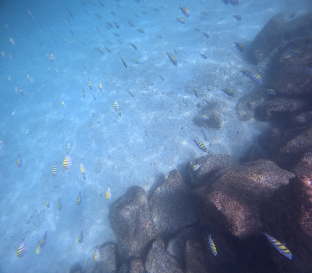
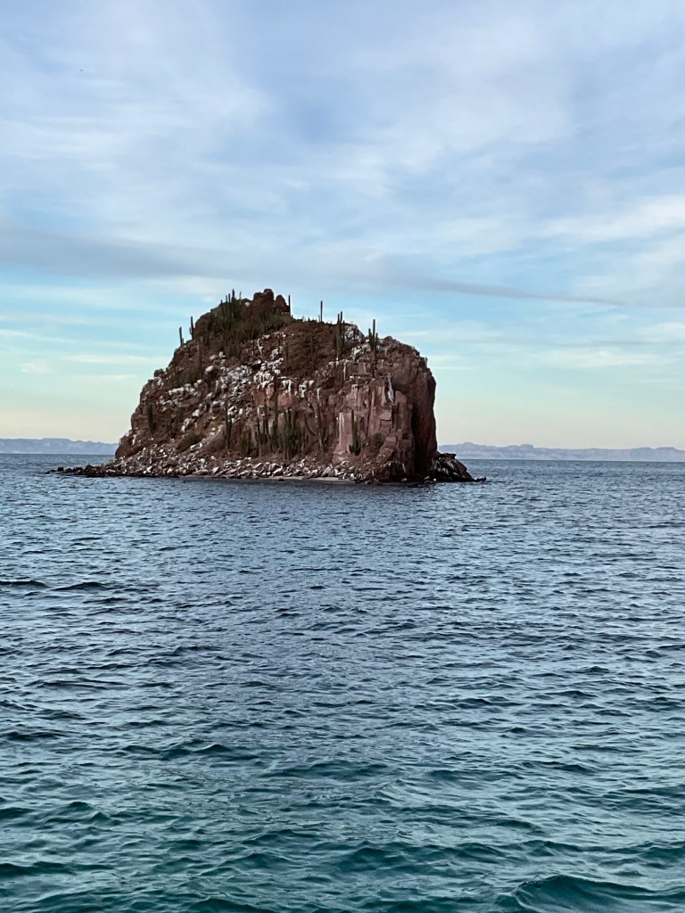
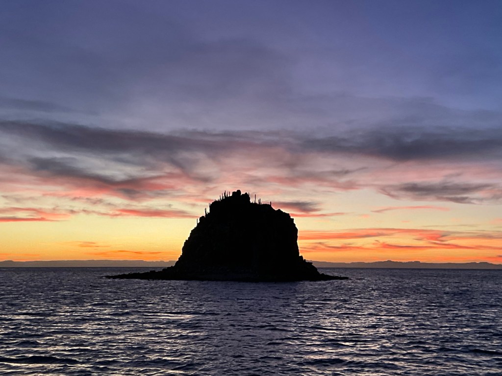
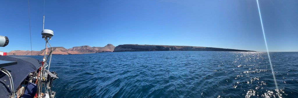
My guess is that they’re are here for the Blue Footed Boobies that nest here on the island and that can be seen on the walls of the mountain by the mountains. Today I will venture out to find these beauties.
Why do they have blue feet?
The blue pigment indicates that they are healthy. It is apparently from the nutrients that they consume. The bluer the feet the healthier the bird. The carotenoid pigments that they receive from their diet which appears blue on their feet. Also, the blue-footed booby name originates from the Spanish word “bobo,” which means silly or foolish. These birds “tend to have a lack of regard for possible danger, making them vulnerable at times.”
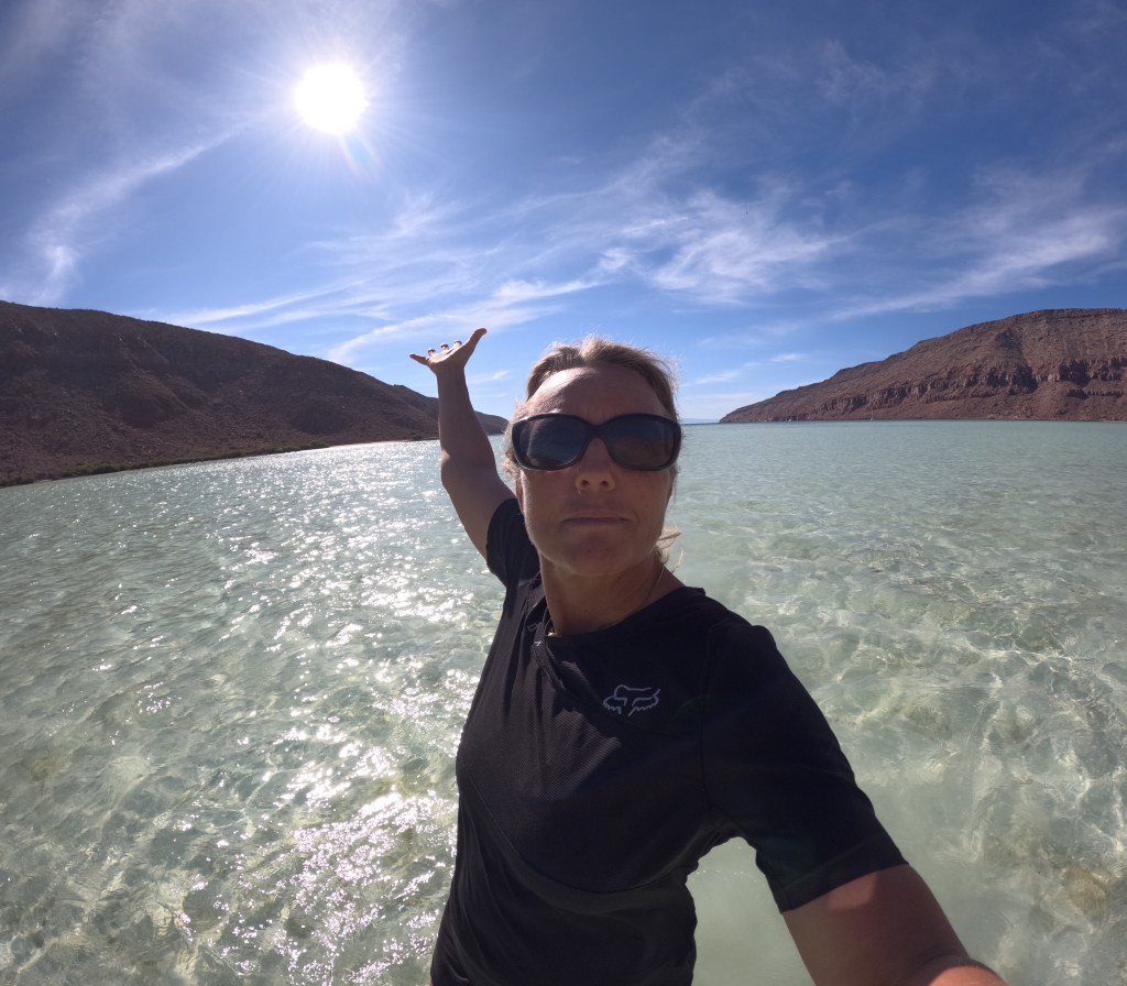
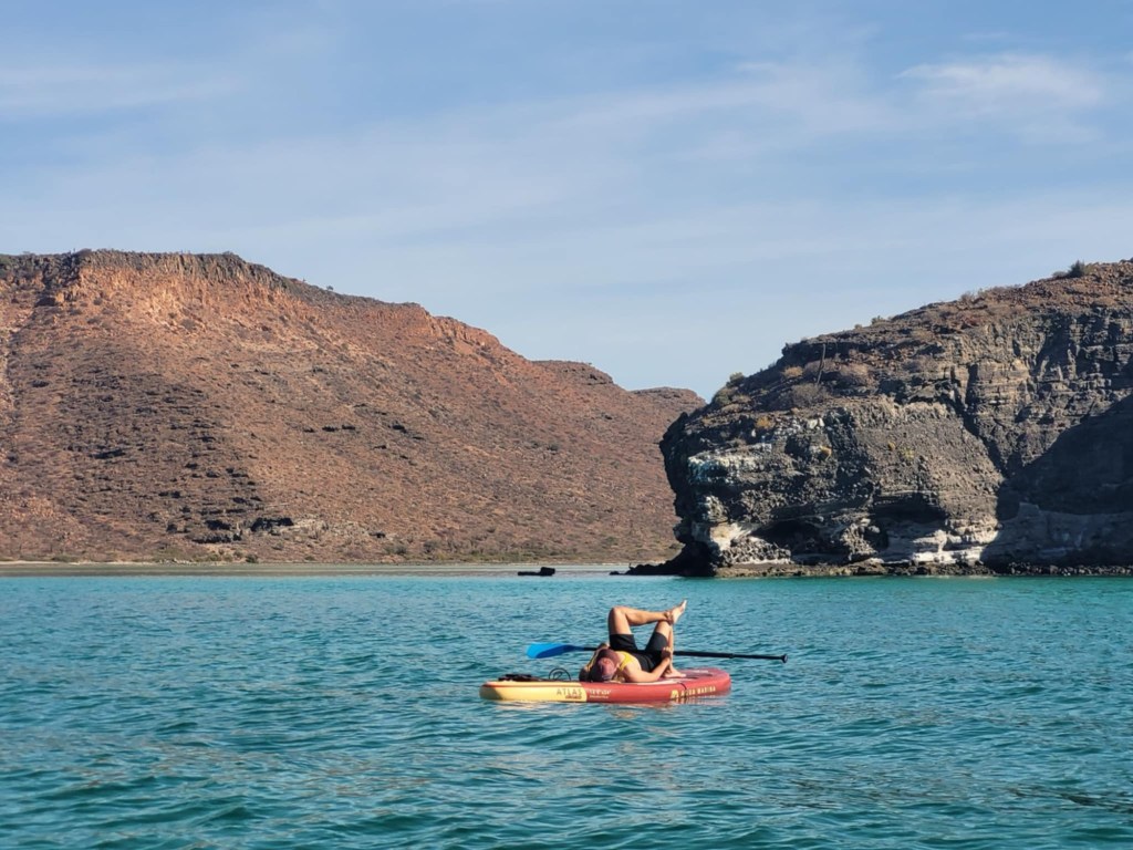
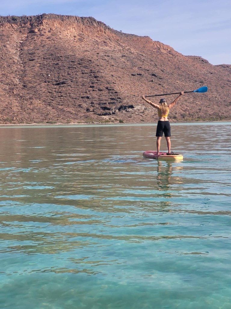
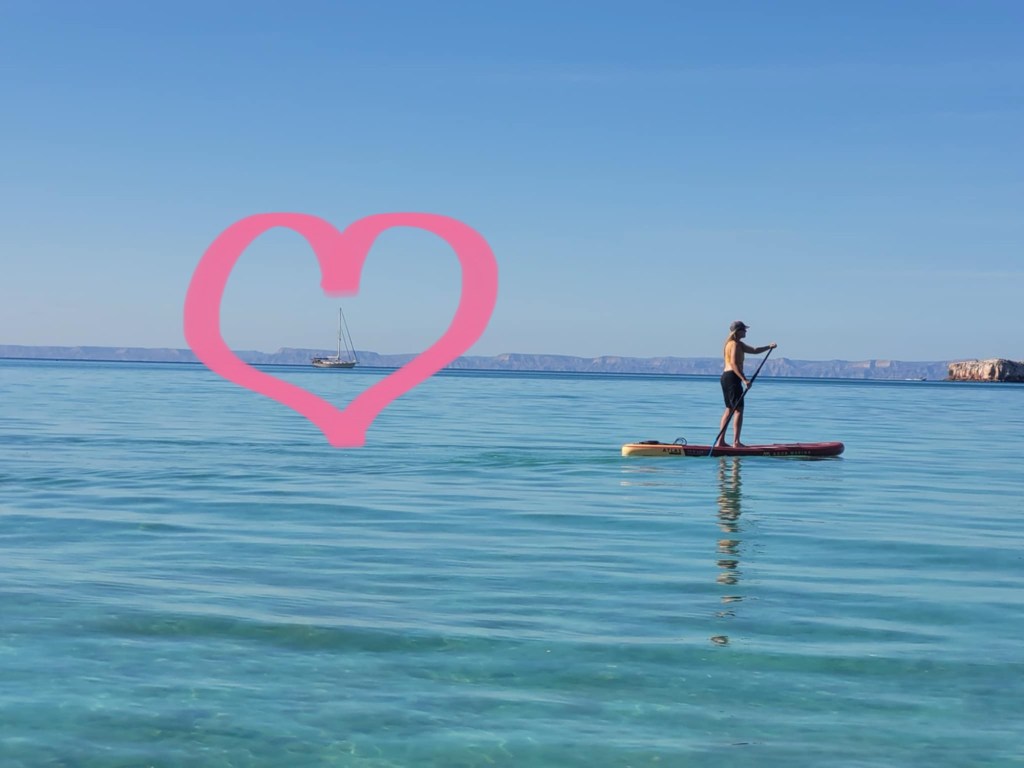
Now, I will need to go and find them! Coffee first!